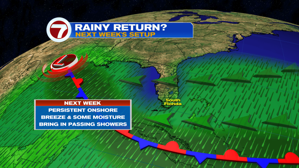
The season’s first cold front has crossed through South Florida, as of Friday afternoon, setting the stage for cool temperatures Friday night into the day Saturday.
As this front continues to clear to our south this afternoon into Friday evening, expect clearing skies, a stronger breeze and falling humidity.
It will be a gradual drop in temperatures tonight, however, with readings in the 60s beginning close to midnight for the mainland.
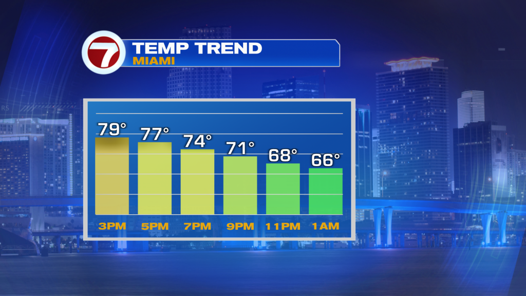
Saturday morning will certainly feel chilly with widespread lows in the upper 50s to low 60s.
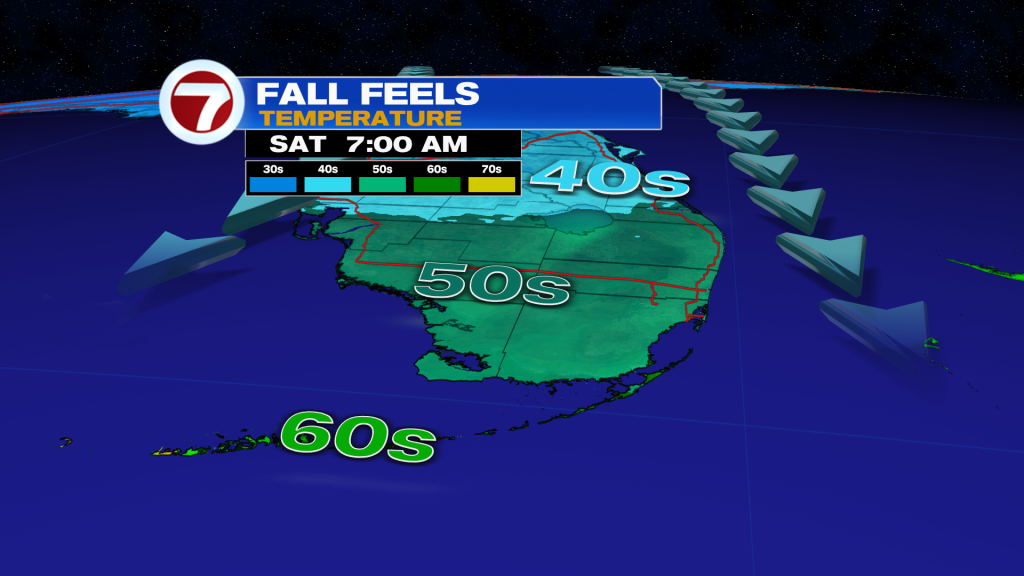
That will be followed by highs only in the low to mid 70s during the day Saturday. It will be breezy but at least we’ll be looking at abundant sunshine!
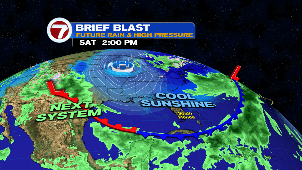
Saturday night into Sunday morning will be just as cold — if not a degree or two colder — with widespread lows in the upper 50s.
Miami and Fort Lauderdale are likely to have its first 50s of the season this weekend, which will be occuring right on schedule.
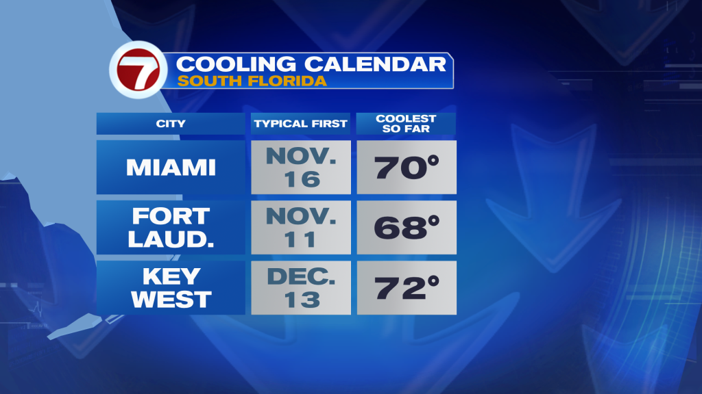
Starting Sunday afternoon, winds veer off the water, ushering in the start of a warmup. Highs Sunday will be in the upper 70s with a mix of sun and clouds.
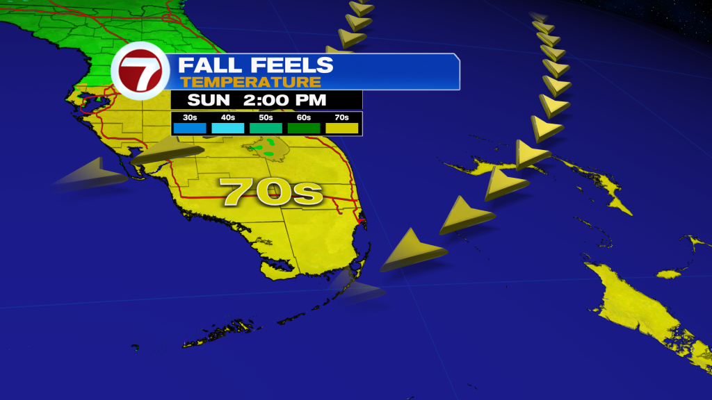
That onshore wind will pick up between this weekend and the middle of next week as high pressure builds in to our north and the cold front stalls to our south.
This will contribute to windy conditions most of next week and will moderate temperatures to near-seasonable levels. It will also bring in periods of wet weather, especially mid to late next week.